
फाइल:Jammu and Kashmir locator map.svg

पूर्वावलोकन PNG क आकार SVG फाइल: ७६४ × ६०० चित्राणु दोसर resolutions: ३०६ × २४० चित्राणु | ६११ × ४८० चित्राणु | ९७८ × ७६८ चित्राणु | १,२८० × १,००५ चित्राणु | २,५६० × २,०१० चित्राणु | २,१६० × १,६९६ चित्राणु।
पूर्ण आनन्तर्य (एसभिजी फाइल, मामूली रूपमे २,१६० × १,६९६ चित्रकण, फाइलक आकार: ६७९ KB)
| ई फाइल विकिमिडिया कमन्ससँ अछि। कमन्सकs विवरण पृष्ठसँ जानकारी एतए नीचाँ देखाएल गेल अछि। कमन्स एक फ्रि लाइसेन्स मिडिया फाइल परियोजना छि। अपने मद्ददतकs सकए छि। |
| शीर्षक |
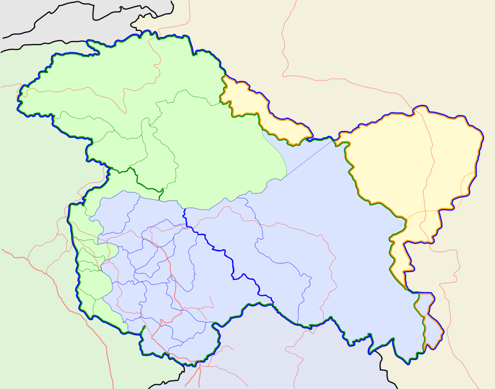
Jammu and Kashmir locator map |
||
| Description |
Locator map for the state of w:Jammu and Kashmir |
||
| दिनाङ्क | |||
| स्रोत |
अपन काम |
||
| रचियता |
|
||
| अनुमति (ई फाइलक पुनः उपयोग) |
मैं, इस कार्य का/की कॉपीराइट धारक, इसे निम्न लाइसेंस के अंतर्गत प्रकाशित करता/करती हूँ: ई फाइल लाइसेन्सड अछि एहि अन्तर्गत क्रिएटिभ कमन्स एट्रिब्युसन-सेयर अलाइक ३.० अनपोर्टेड लाईसेन्स ।
|
||
| Geotemporal data | |||
| Date depicted | second half of 20 century आर 21 century | ||
| Georeferencing | If inappropriate please set warp_status = skip to hide. | ||
| Archival data | |||
| नोट्स | Part of WikiProject India Maps | ||
फाइल इतिहास
तखनका तिथि/ समए पर क्लिक करी जखनका फाइल देखबाक अछि
| तिथि/ समए | लघुचित्र | बीमसभ | प्रयोक्ता | समीक्षा | |
|---|---|---|---|---|---|
| अखनका | १६:१६, ६ अक्टुबर २०२० | | २,१६० × १,६९६ (६७९ KB) | Hindian1947 | Fixed colour |
| १६:११, ६ अक्टुबर २०२० |  | २,७०० × २,१२० (१५३ KB) | Hindian1947 | Ladakh, Gilgit Baltistan borders fixed | |
| २३:४५, ९ अप्रैल २००७ |  | २,१६० × १,६९६ (२११ KB) | Planemad | {{WikiProject_India_Maps |Title=Jammu and Kashmir locator map |Description=Locator map for the state of [w:Jammu and Kashmir]] |Source= [http://www.koausa.org/Nature/maps.html Map of Kashmir], |Date=April 2007 |Author=w:user:Planemad }} [[Category:W |
फाइलक उपयोग
ई 3 पन्नासभमे ई फाइलक लिङ्क अछि:
विश्वव्यापी फाइल उपयोग
ई फाइल कऽ उपयोग निम्न दोसर विकिसभमे अछि:
- ar.wikipedia.org कऽ उपयोग पर
- bn.wikipedia.org कऽ उपयोग पर
- bpy.wikipedia.org कऽ उपयोग पर
- ceb.wikipedia.org कऽ उपयोग पर
- de.wikipedia.org कऽ उपयोग पर
- en.wiktionary.org कऽ उपयोग पर
- fa.wikipedia.org कऽ उपयोग पर
- gu.wikipedia.org कऽ उपयोग पर
- hi.wikipedia.org कऽ उपयोग पर
- साँचा:ज्ञानसन्दूक भारत के क्षेत्र
- साँचा:ज्ञानसन्दूक भारत के क्षेत्र/doc
- अनंतनाग लोक सभा निर्वाचन क्षेत्र
- बारामूला लोक सभा निर्वाचन क्षेत्र
- जम्मू लोक सभा निर्वाचन क्षेत्र
- लद्दाख लोक सभा निर्वाचन क्षेत्र
- श्रीनगर लोक सभा निर्वाचन क्षेत्र
- उधमपुर लोक सभा निर्वाचन क्षेत्र
- शारदापीठ
- रिमो मुज़ताग़
- Module:Location map/data/Kashmir
- Module:Location map/data/Kashmir/doc
- हाजी पीर की लड़ाई
- शाह मीर राजवंश
- id.wikipedia.org कऽ उपयोग पर
- it.wikipedia.org कऽ उपयोग पर
- ja.wikipedia.org कऽ उपयोग पर
- ks.wikipedia.org कऽ उपयोग पर
- ml.wikipedia.org कऽ उपयोग पर
ई फाइलक विश्वव्यापी उपयोगक अधिक जानकारी देखी।