
फाइल:Kazakhstan adm location map.svg

पूर्ण आनन्तर्य (एसभिजी फाइल, मामूली रूपमे १,९८४ × १,१३४ चित्रकण, फाइलक आकार: ५६२ KB)
| ई फाइल विकिमिडिया कमन्ससँ अछि। कमन्सकs विवरण पृष्ठसँ जानकारी एतए नीचाँ देखाएल गेल अछि। कमन्स एक फ्रि लाइसेन्स मिडिया फाइल परियोजना छि। अपने मद्ददतकs सकए छि। |
सङ्क्षेप
| जानकारी |
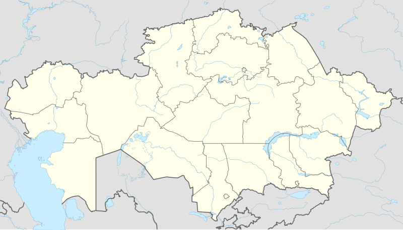
Deutsch: Positionskarte von Kasachstan
English: Location map of Kazakhstan
|
||||||||||||
| दिनाङ्क | |||||||||||||
| स्रोत |
Own work using:
|
||||||||||||
| लेखक | NordNordWest | ||||||||||||
| दूसरे संस्करण |
|
||||||||||||
_location_map.svg)

|
This map has been made or improved in the German Kartenwerkstatt (Map Lab). You can propose maps to improve as well.
|
अधिकृत करब
Usage of this file with:

explanatory notes: Legally binding is only the full legalcode. For a free usage I recommend to respect the following licence conditions:
1. Provide my name as given above: NordNordWest,
2. a copy of, or the URI for, the applicable license: https://creativecommons.org/licenses/by-sa/3.0/de/legalcode,
3. the title of the work,
4. in the case of an adaptation, a credit identifying the use of the work in the adaptation.
This license and the rights granted hereunder will terminate automatically upon any breach by you of the terms of this license. Any of the above conditions can be waived if you get permission from the copyright holder. If you have questions or wish differing conditions, please contact me through nnwest or my discussion page ![]() t-online.de
t-online.de
- अहाँ मुक्त छी:
- साझा करी – रचनाक कपी, वितरित आ सञ्चारित करवाक लेल
- रिमिक्स करैक लेल – काम अनुकूलित करैक लेल
- निम्नलिखित कारणसभक अन्तर्गत:
- एट्रीब्यूसन – अहाँक रचनाक श्रेय लाइसेन्सकर्ता अथवा लेखकके बताएल गएल माध्यमसँ देबए पडत (मुदा ई प्रकार नै की वोसँ लागै कि ओ अहाँक अथवा अहाँकद्वारा रचनाक प्रयोग क समर्थन करैत अछि)।
- शेयर एलाइक – यदि अहाँ ई रचनामे कोनो परिवर्तन अथवा बदलाव करैत छी या एहिपर आधारित किछो रचित करैत छी तँ अहाँ निष्कर्ष स्वरूप बनल रचनाक मात्र एहि या एकर सामान कोनो same or compatible लाइसेन्सक अन्तर्गत वितरित करि सकैत छी।

फाइल इतिहास
तखनका तिथि/ समए पर क्लिक करी जखनका फाइल देखबाक अछि
| तिथि/ समए | लघुचित्र | बीमसभ | प्रयोक्ता | समीक्षा | |
|---|---|---|---|---|---|
| अखनका | २०:०१, ४ अक्टुबर २०२२ | | १,९८४ × १,१३४ (५६२ KB) | NordNordWest | upd 2022 |
| ०१:३०, २२ फरबरी २०२२ |  | १,९८४ × १,१३४ (५५४ KB) | NordNordWest | corr | |
| ०३:२६, २६ जुन २०१८ |  | १,९८४ × १,१३४ (६१९ KB) | NordNordWest | corr | |
| २१:३३, २६ सितम्बर २०१४ |  | १,९८४ × १,१३४ (६१८ KB) | NordNordWest | == {{int:filedesc}} == {{Information |Description= {{de|1=Positionskarte von Kasachstan}} {{en|1=Location map of Kazakhstan}} {{Location map series N |stretching=150 |top=56 |bottom=40 |left=46 |right=88 }} |Source={{Own using}} * United States Nationa... |
फाइलक उपयोग
ई 2 पन्नासभमे ई फाइलक लिङ्क अछि:
विश्वव्यापी फाइल उपयोग
ई फाइल कऽ उपयोग निम्न दोसर विकिसभमे अछि:
- af.wikipedia.org कऽ उपयोग पर
- an.wikipedia.org कऽ उपयोग पर
- ar.wikipedia.org कऽ उपयोग पर
- ast.wikipedia.org कऽ उपयोग पर
- azb.wikipedia.org कऽ उपयोग पर
- az.wikipedia.org कऽ उपयोग पर
ई फाइलक विश्वव्यापी उपयोगक अधिक जानकारी देखी।