
फाइल:National Atlas of the USA 1970 - Pacific Outlying Areas.jpg

ऐ पूर्वदृश्यक आकार: ८०० × ५४४ चित्राणु. दोसर resolutions: ३२० × २१८ चित्राणु | ६४० × ४३५ चित्राणु | १,०२४ × ६९६ चित्राणु | १,२८० × ८७१ चित्राणु | २,५६० × १,७४१ चित्राणु | ४,१७० × २,८३६ चित्राणु।
पूर्ण आनन्तर्य (४,१७० × २,८३६ चित्राणु, फाइल आकार: २.०४ MB, माइम प्रकार: image/jpeg)
| ई फाइल विकिमिडिया कमन्ससँ अछि। कमन्सकs विवरण पृष्ठसँ जानकारी एतए नीचाँ देखाएल गेल अछि। कमन्स एक फ्रि लाइसेन्स मिडिया फाइल परियोजना छि। अपने मद्ददतकs सकए छि। |
सङ्क्षेप
| जानकारी |
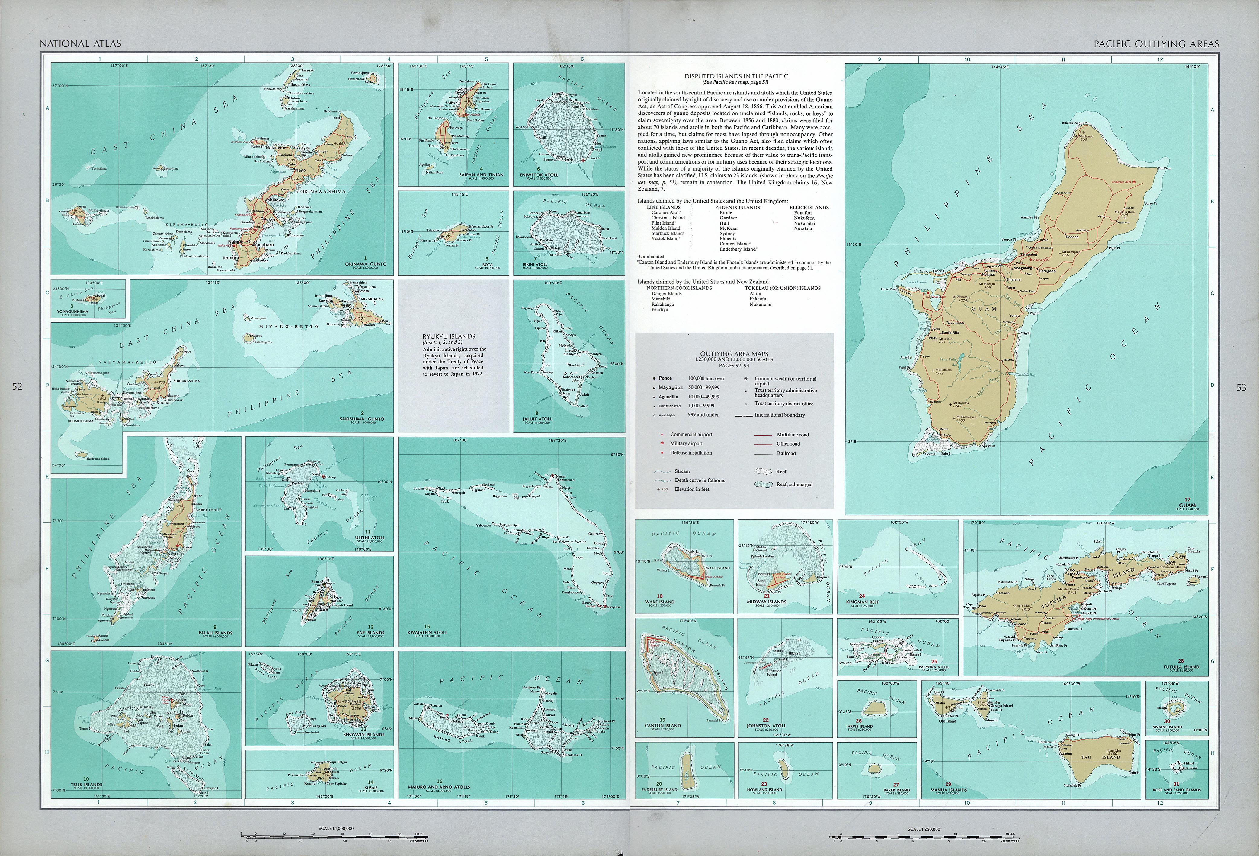
English: National Atlas of the United States, page "Pacific Outlying Areas", with map insets (all uploaded separately) |
| दिनाङ्क | |
| स्रोत | https://www.lib.utexas.edu/maps/national_atlas_1970/ca000040.jpg |
| लेखक | United States Department of the Interior |
| दूसरे संस्करण |
|


अधिकृत करब
| This work is from the Library of Congress. According to the library, there are no known copyright restrictions on the use of this work. |  |
फाइल इतिहास
तखनका तिथि/ समए पर क्लिक करी जखनका फाइल देखबाक अछि
| तिथि/ समए | लघुचित्र | बीमसभ | प्रयोक्ता | समीक्षा | |
|---|---|---|---|---|---|
| अखनका | १९:०१, १७ अक्टुबर २०१६ | | ४,१७० × २,८३६ (२.०४ MB) | Mauerquadrant | Reverted to version as of 19:25, 16 October 2016 (UTC) |
| १९:००, १७ अक्टुबर २०१६ |  | ४९२ × ३०१ (८४ KB) | Mauerquadrant | Cropped 6 % horizontally and 11 % vertically using CropTool with precise mode. | |
| १८:५८, १७ अक्टुबर २०१६ |  | ५२१ × ३३९ (९३ KB) | Mauerquadrant | Cropped 88 % horizontally and 88 % vertically using CropTool with precise mode. | |
| ०१:१०, १७ अक्टुबर २०१६ |  | ४,१७० × २,८३६ (२.०४ MB) | Ratzer | User created page with UploadWizard |
फाइलक उपयोग
एकोटा पन्ना नै अछि जे ई सञ्चिका सँ जुड़ल होए।
विश्वव्यापी फाइल उपयोग
ई फाइल कऽ उपयोग निम्न दोसर विकिसभमे अछि:
- de.wikipedia.org कऽ उपयोग पर